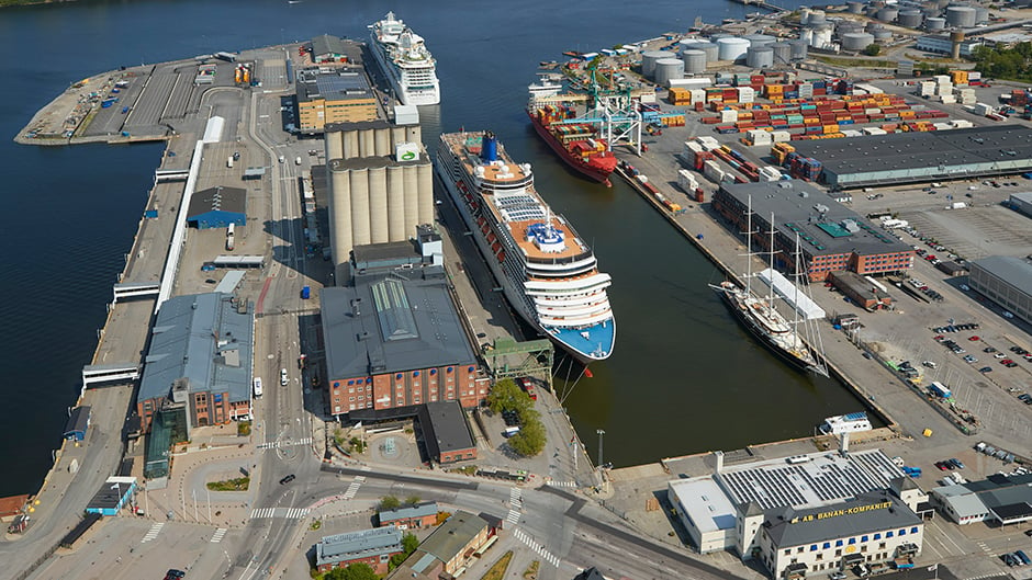
Frihamnen port
From Frihamnen there are ferries to Saint Petersburg. During summer it is a busy cruise port.
Map of Frihamnen and Värtahamnen
Approximately half of the cruise liners visiting Stockholm each year call at Frihamnen. There is a large, modern cruise passenger terminal at the port which enables Stockholm to accommodate several turnarounds.
Quay facts
Quay 1
610-611: Length 130 m, charted depth 6.0 m.
Quay 2
620-625: Length 412 m, charted depth 7.4-8.3 m.
Permanent RoRo ramp in angle between quays 1 and 2 and at berth 625. Passenger terminal in warehouse 2.
Quay 3
630-631: Length 135 m, charted depth 8.4-8.9 m.
Permanent ro-ro berth in angle between quays 4 and 3.
631-634: Length 211 m, charted depth 8.9-9.9 m.
At berths 631-632 there are three grain silos with a loading facility. Special restrictions on vessel size.
See detailed map of Frihamnen 634 (pdf).
634-638: Length 400 m, charted depth 9.9 m.
See detailed map of Frihamnen 638 (pdf)
Quay 4
640-641: Length 110 m, charted depth 7.4 m.
Quay 5
650-652: Length 222 m, charted depth 8.9 m.
Permanent RoRo berth in angle between quays 4 and 5.
See detailed map of Frihamnen 650 (pdf)
NB: Charted depth is indicated by reference level RH2000/Baltic Sea Chart Datum 2000.
See also §8 in the Port Regulations.