Värtahamnen port
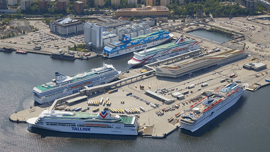
Värtahamnen is one of the largest port areas in Stockholm and serves extensive ferry traffic to Turku, Helsinki and Tallinn.
Map of Värtahamnen and Frihamnen
Quay facts
The Värta Pier
510: Length 90 m, charted depth 7.8 m.
Service quay.
511: Length 265 m, charted depth 9.9 m.
Movable RoRo ramp, width 26 m.
See detailed map of Värtahamnen 511 (pdf)
512: Length 222 m, charted depth 11.0 m.
Movable RoRo ramp, width 29 m.
513: Length 245 m, charted depth 8.9 m.
Movable RoRo ramp, width 29 m.
514: Length 255 m, charted depth 7.9 m.
Movable RoRo ramp, width 29 m.
515: Length 255 m, charted depth 6.9 m.
Movable RoRo ramp, width 29 m.
See detailed map of Värtahamnen 515 (pdf)
South Värtahamnen
521-523: Length 320 m, charted depth 7.3 m.
524-611: Length 326 m, charted depth 6.0 m.
NB: Charted depth is indicated by reference level RH2000/Baltic Sea Chart Datum 2000.
See also §8 in the Port Regulations.